

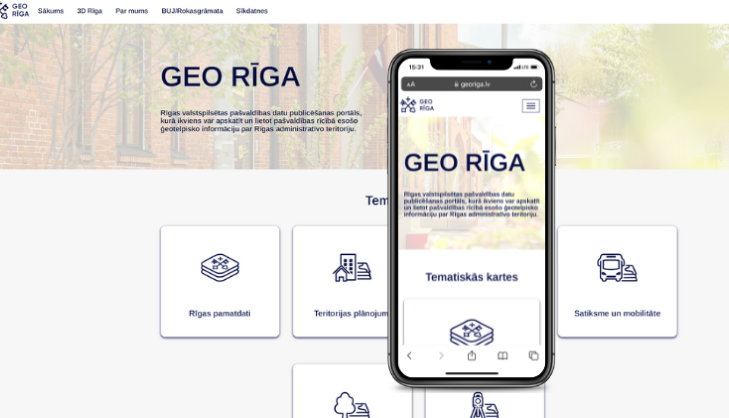
This week, the geospatial information portal GEO RIGA has been made available to a wider audience, where anyone interested can consult the geospatial data maintained by the municipality's departments free of charge.
"The GEO RIGA portal will be a useful tool for different groups of society, including citizens, neighbourhood activists, investors and entrepreneurs, innovators and researchers, and public authorities. The portal is planned to be gradually improved and supplemented with data to ensure effective communication and feedback from residents, thus supporting the public's desire to be informed and participate in city development processes," explains Diāna Korbe, Head of the Geomatics Department of the City Development Department of the Riga City Council.
The thematic maps of GEO RIGA provide a wide range of high-quality information on the administrative territory of Riga - street networks and addresses, suburb and neighbourhood boundaries, cadastral information and street red lines, as well as the most up-to-date orthophoto maps. Aseparate thematic map also shows the functional zoning of the Riga spatial plan, the boundaries of local and detailed plans, as well as the spatial planning of the historic centre of Riga and its protection zone.
GEO RIGA provides data on the city's local geodetic network points, spatial information on pollution and waste management, information on the city's beech trees and specially protected nature areas, and other data related to environmental quality. The portal also offers 3D models of Riga's neighbourhoods, which allow for a more comprehensive study of the location of sites, shading and solar exposure in different seasons and times of the day, and can be used to discuss different spatial solutions. Some 3D models of Riga's neighbourhoods are currently published and will be updated to over time. The second half of this year will launch spatial data in machine-readable data formats, allowing interested parties to download and use the data in their own solutions and systems.
GEO RIGA portal is available from https://georiga.lv.
When GEO RIGA was launched, the purpose was to provide all interested parties with remote and convenient access to the geospatial information held by the municipality, allowing it to be linked and used for different purposes without the use of free software. In addition, the availability of data on the GEO RIGA portal will reduce the need for citizens to go to local authorities for information and advice. The geospatial data availability increases the transparency of local government work and allows citizens to easily and conveniently access data services.
Information was prepared by: Kaspars Līcītis – Project Coordinator at External Communication Division of Riga City Council Communication Department, e-mail: kaspars.licitis@riga.lv.